Avoid project delays, costly errors, and potential legal action by utilizing underground utility locating services. Before embarking on any project involving coring or digging, it is crucial to identify the location of utility lines. Failing to do so can result in service disruptions, such as gas, water, or sewer leaks, and other hazards that may cause injuries.
To prevent these negative outcomes, employing sophisticated tools and methods for finding underground utilities is essential.
What Does a Utility Locating Service Do?
For accurate utility locating, project owners should seek a reliable third-party service provider equipped with the right tools and expertise. Accuracy is vital in scanning for underground public and private utility lines.
A competent service provider can quickly uncover unmarked utility lines, including water and gas pipelines, telephone and cable wires, storm drains, and septic pipes. Accurate information about these lines allows contractors to make informed decisions and adjustments, ensuring the project’s success.
Why Call a Utility Locating Service for Your Project?
Contractors must contact a public utility locating service to oversee the task and provide support, especially when client communications or site records are limited. Ignoring this step can result in missed, unused, or deep-seated utility lines, increasing the risk of damage and injury.
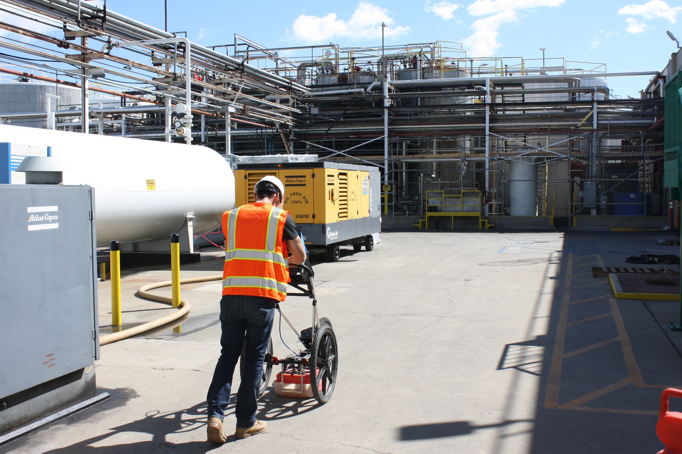
Private utility locating contractors use electromagnetic tools and strategies to scan the entire worksite, apply standard markings, and compare the data to existing public records. The service provider will then furnish a comprehensive report based on the quality of information required by the project owner.
The Four Quality Levels of Underground Utility Information
Private locating service providers map the project area and provide data on existing and unused utility lines. According to the American Society of Civil Engineers’ guidance on subsurface utilities, the four levels of information quality are:
Level D: The most basic level, relies on public records and word-of-mouth. While useful for initial project planning, it does not offer a detailed picture.
Level C: Involves gathering utility data by observing physical features like manholes and valve boxes. Public utility provider markings are also considered, but this information is limited to visible utilities.
Level B: Utilizes surface locating methods to determine the existence and approximate horizontal position of subsurface utilities. This data is reproducible and depicted according to project-defined tolerances on plan documents.
Level A: The highest quality information, providing precise horizontal and vertical locations of utilities obtained through minimally intrusive excavation. This level ensures an accurate and detailed depiction of utility attributes on plan documents.
Cut Project Costs and Prevent Injury and Damage
Engage a private utility locating service that uses advanced scanning equipment and methods to proceed without the risk of injury or damage.
For personal, at-home underground projects, contacting DigAlert is a simple solution.
Find a California Utility Locating Service
Planning a construction or development project in California?
CCS offers subsurface imaging and locating services, providing a complete picture of your project site when public records fall short. Our primary utility investigation services include utility mapping, and CCTV and video pipe inspection using state-of-the-art technology for contractors and homeowners throughout Southern California.
Want to find out more? Request a quote today or contact us to learn how we can help you.


